
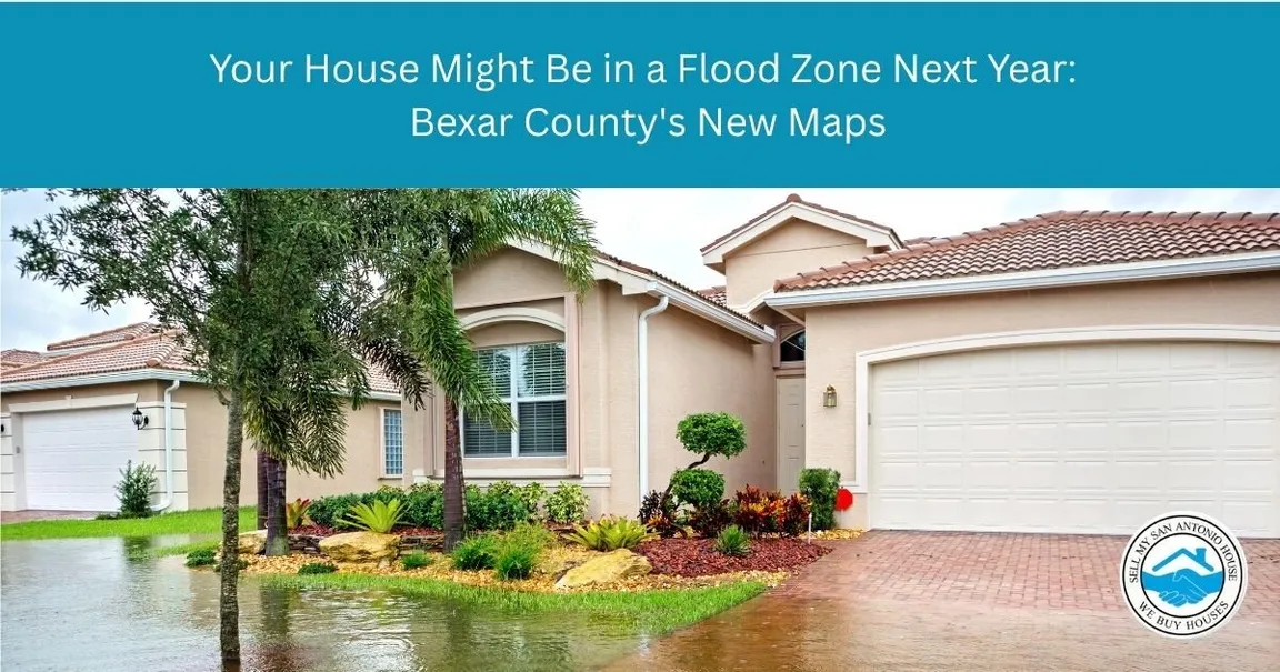
Bexar County’s flood maps are being redrawn for the first time in more than fifteen years, and the draft version would put roughly 5,000 additional parcels and 5,600 additional buildings inside flood zones.
The San Antonio River Authority finished the draft and handed it to FEMA. The public release and the community meetings that go with it are expected in early 2027. Until then, most homeowners who are about to be affected have no idea.
I’m Nick Disney. I’ve been buying houses in this county for seventeen years, and I’d rather you hear this now than find out from an insurance quote in the middle of a closing. Nothing here is settled yet — that’s exactly why it’s worth paying attention.
Why the Maps Are Changing
The last comprehensive update to Bexar County’s floodplain maps went into effect around 2010. Since then a lot has happened.
Rainfall data got better. Development patterns changed — every subdivision, parking lot, and widened road is one more surface that sheds water instead of absorbing it. Modeling and topography data improved, and engineers can now account for individual bridges and culverts in a way they couldn’t before.
The river authority started this work in 2023, and the urbanized watersheds alone took about three years: the Upper San Antonio River, Salado Creek, and the Medina River and Leon Creek systems. If you live near any of those, or near one of their tributaries, you’re in the study area. The draft changes run from the Perrin Beitel corridor on the Northeast Side down to Concepcion Creek on the South Side.
And there’s the geology, which is the part people who move here from elsewhere never quite believe. San Antonio sits in what’s called Flash Flood Alley, a band running roughly from Dallas down to Uvalde. The Balcones Escarpment shoves moist Gulf air upward, it condenses, and it dumps. Underneath us is shallow soil over limestone. The ground doesn’t act like a sponge — it acts like a slide.
In June 2025, more than six inches of rain fell on the city in a matter of hours — nearly four inches of it in a single hour, the heaviest hourly rate recorded here since 1934. Thirteen people died, eleven of them along a stretch of Beitel Creek near Loop 410 and Perrin Beitel. The draft maps show a considerably larger flood-risk area around that corridor than the maps in force that night.
What Happens Next, and When
This process has more steps left than most people realize, and each one is a chance to be heard.
Now through early 2027. FEMA works from the river authority’s data to produce its own flood insurance rate maps. Nothing is official. Your insurance doesn’t change.
Early 2027, expected. FEMA issues preliminary maps and there are community meetings. This is when addresses become public and homeowners can look themselves up.
Ninety days after that. There’s a formal window to comment or appeal. An appeal is a technical argument — you’re generally showing that the engineering or the elevation data got your property wrong, often with a survey. It’s a real process, not a formality, and people win them.
Then adoption. Once the maps are final, they govern insurance requirements. Start to finish, the river authority has described the whole thing as an eighteen-to-twenty-four-month process.
One thing to hold onto: properties come out of flood zones in these updates too. Better data cuts both ways. Some Bexar County homeowners are going to find out they’ve been carrying a premium they no longer need.
What This Actually Means If You’re Selling
Here’s the part that matters and that nobody frames correctly.
Remapping doesn’t change your house. It changes what it costs to own it.
If a property lands in a high-risk zone and carries a mortgage from a federally regulated or insured lender, flood insurance may be required by law. That’s a new annual expense attached to the address permanently. A home that appraised fine and sold easily last year can face a buyer pool that has quietly gotten smaller, because the monthly number a financed buyer has to qualify on just went up.
You’re also selling into a harder insurance market generally. Worth knowing: after the June 2025 flood, San Antonio officials were surprised to learn the damage didn’t qualify for federal disaster assistance. Homeowners who assume a bad enough flood brings federal help are making an assumption that has already failed here once.
And on disclosure — Texas sellers have obligations around known flooding and flood damage. If your house has taken water, say so. A buyer who finds out later has a much bigger problem than a buyer who knew going in, and so do you.
None of this means a property in a flood zone can’t be sold. Plenty change hands every month, and as-is buyers look at them the same as anything else. It means the timeline, the buyer pool, and what the house is worth may all look different than they did, and you want to know that before you list rather than during an option period.
Check Your Address This Week
Do this now, not in 2027.
The San Antonio River Authority runs a floodplain viewer where you can enter an address and compare where things stand today against the proposed changes. It’s free and takes about two minutes. Bexar County also maintains floodplain information for the unincorporated areas.
When you look it up you’ll see a zone letter, and the letters are simpler than they look. Zone X is the low-risk designation — no federal insurance requirement. Zone A and Zone AE are the high-risk ones, the areas modeled to flood in a storm with a one percent chance of happening in any given year. People call that the hundred-year floodplain, which is a genuinely terrible name. It doesn’t mean once a century. It means a one-in-a-hundred chance every single year, and the odds reset each spring. The difference between AE and A is mostly whether engineers have established a specific base flood elevation for your property, which matters a great deal when you go to price insurance or file an appeal.
If your property looks like it’s being added, you have well over a year to plan — get an elevation certificate, price flood insurance so you know the real number, and talk to your carrier before you need to. If you’re already in a flood zone, check anyway. You might be coming out.
Questions About the New Maps
Q: Do I have to do anything right now? A: No. The draft maps have no legal effect. But looking up your address costs nothing and tells you whether you need to plan for a new expense.
Q: Is flood insurance required if I own my house outright? A: Generally not. The requirement is tied to federally backed mortgages. Owning free and clear means it’s your call — which doesn’t make it a bad idea in Flash Flood Alley.
Q: My house flooded but it isn’t in a flood zone. How does that happen? A: Flood maps model specific sources like creeks and rivers. They don’t capture every drainage failure, blocked culvert, or extreme rainfall event. Being outside a mapped zone has never meant water can’t reach you.
Q: Can I fight being put in a flood zone? A: Yes, during the ninety-day appeal window after the preliminary maps come out. Appeals are technical and usually involve an elevation survey. Talk to a surveyor or engineer rather than doing it yourself.
Q: Should I sell before the maps are finalized? A: That depends on your situation, not on the maps. Selling to get ahead of a designation is a real strategy, but a rushed sale has its own costs. Price the flood insurance first so you’re comparing actual numbers.
Q: Will a lender still finance a house in a flood zone? A: Yes, with flood insurance in place. It’s an added cost and an added step, not a wall.
Everybody in Bexar County is in a floodplain of some kind. The only question is which one, and whether the map has caught up with the water.
Look your address up this week. If what you find changes your plans and you’d rather not carry the property through a couple more Texas springs figuring it out, we’ll give you a straight number on it in its current condition — or call (210) 201-6644. And if the right move is to stay put and file an appeal, that’s worth knowing too.
Anti-Sameness Check vs. Posts 1–3 (§0.8)
| Check | Result |
|---|---|
| Shared H2 headings | None |
| Shared FAQ questions | None (0 of 6) |
| Shared 6-word phrases | 0 |
| Opening type | P1 scene · P2 a number · P3 direct address · P4 news lede. All different. |
| Structure | Narrative+triad · cost walkthrough · decision framework · news explainer. All different. |
| Case study | P1 yes · P2 none · P3 last · P4 none. Two consecutive “none” would be a flag; P3 had one, so this is fine. |
| Author credential line | Fourth distinct phrasing: “buying houses in this county for seventeen years.” |